Welcome to Lagawe in Ifugao, and welcome to Anthro on Foot's walking tour! This is a self-paced
walking tour
that features key heritage sites and cultural highlights in the area. We hope you enjoy this tour as
much as we
enjoyed curating it!
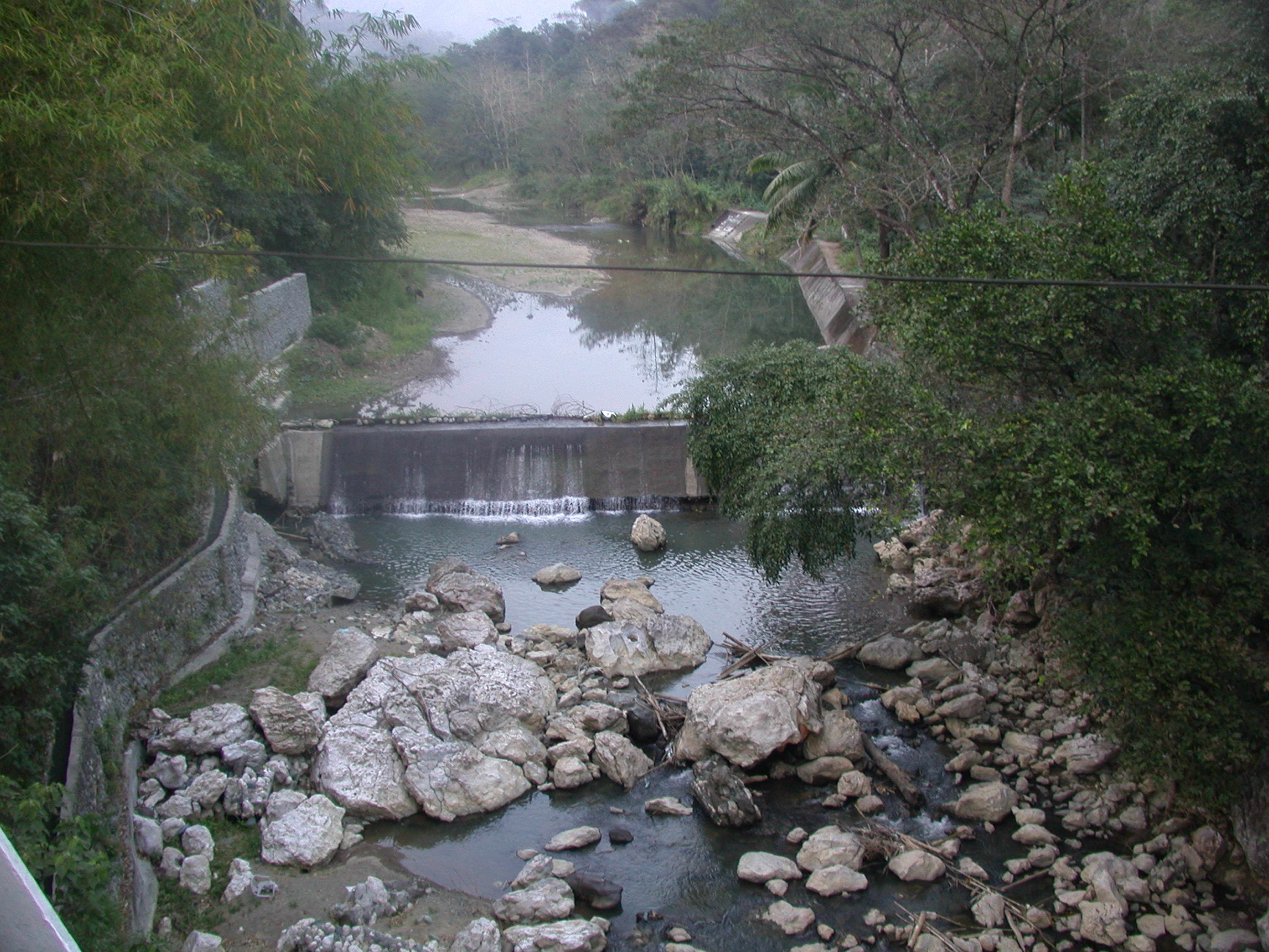
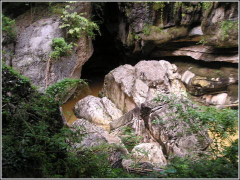
The name Lagawe is derived from the term Lagwi, referring to the flower of the local plant runo,
otherwise known as talictic. It is believed that this runo plant proliferated in the valley when
Wigan, the legendary ancestor of the Ifugaos, removed his bango (the local name for a hunter's
backpack made of woven ratta) and appeared at the Ibulao cliff, causing water to flood the valley.
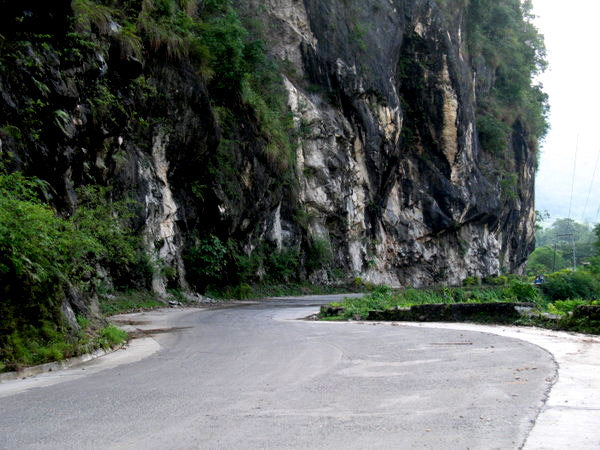
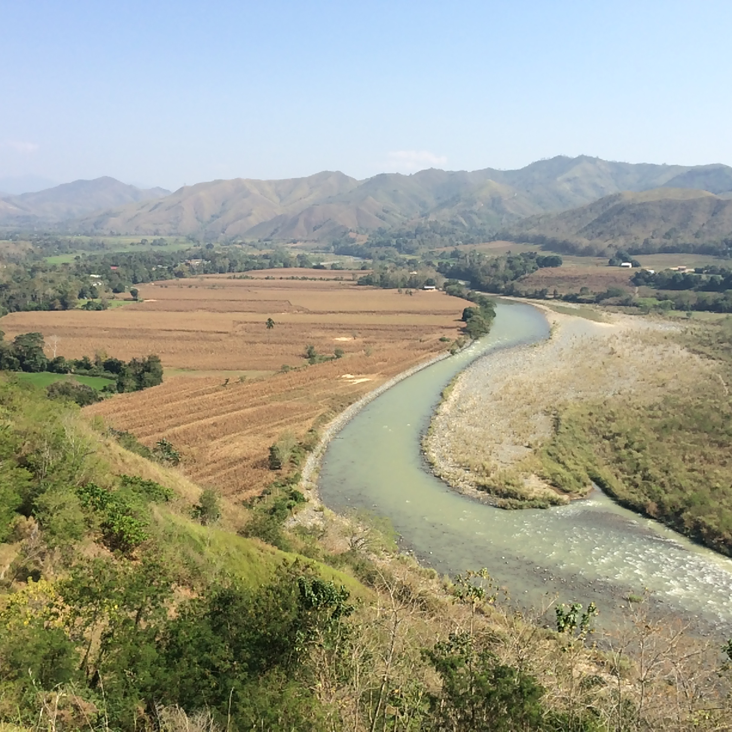
Lagawe is centrally located in Ifugao Province, bordered by Diadi, Nueva Vizcaya, to the east;
Kiangan to the west; Hingyon, Banaue, and Mayoyao to the north; Aguinaldo to the northeast; Kiangan
to the south, and Lamut to the southeast.
Ifugao is known for its remarkable rice terraces, a UNESCO World Heritage site. The construction of
these terraces dates back over two thousand years. The Ifugao people ingeniously carved these
terraces into the mountainsides to cultivate rice, showcasing their advanced understanding of
agriculture and water management.
The Ifugao people have a strong oral tradition, passing down their history, myths, and legends
through generations. Elders played a crucial role in preserving and transmitting this knowledge
orally, ensuring the continuity of their cultural heritage.
The arrival of the Spanish colonizers in the Philippines in the 16th century marked a significant
turning point in the history of the Ifugao people and the region as a whole. The influences of
colonial rule, Christianity, and subsequent historical developments have shaped the modern cultural
landscape of Lagawe and the Ifugao province.
In 1910, Lt. Jefferson Gallman, the inaugural American military Governor, established the
governmental center for the sub-province of Ifugao in Kiangan. Burnay, now known as Lagawe, was one
of the municipal districts.